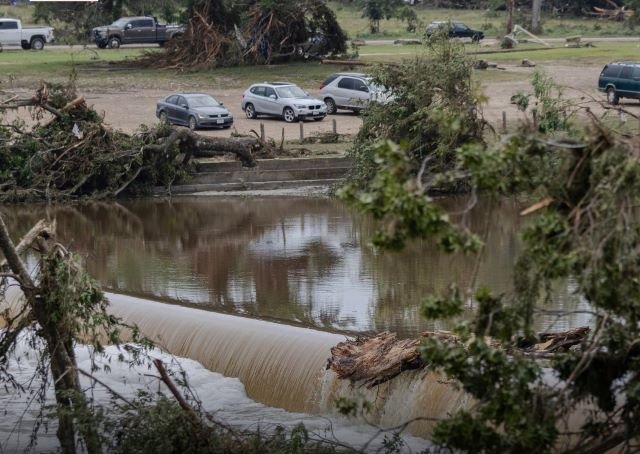
Avantika Gori, an assistant professor at Rice University in Houston, is deeply involved in finding ways to improve flood hazard detection and resilience in rural Texas counties. Her ongoing three-year project, funded with $1 million from the National Science Foundation, focuses on two counties in South and West Texas.
Despite this, many other counties were ravaged by severe flooding recently, leading to over 100 deaths. Gori discussed her insights on these catastrophic events with the *Texas Observer*, highlighting potential solutions and findings from her research.
“The Hill Country’s rugged terrain makes it a risky flood zone,” she explained. The steep hills ensure that rainwater runs off quickly, forming dangerous waves that speed downstream. Unlike flat coastal areas, residents have less time to seek safety, making the Hill Country particularly perilous.
Texas’s first statewide flood plan reveals that about 5 million Texans live in flood-prone areas. Gori notes that current remapping by the Texas Water Development Board could provide updated and valuable floodplain information once finalized.
Warning Systems and Floodplain Challenges
Questions remain regarding the effectiveness of warning systems in the Hill Country. Gori acknowledged that while the National Weather Service provides alerts, patchy cell reception in rural areas means some residents might miss them.
“Localized systems using rain gauges and water sensors could offer more immediate warnings,” she mused, though she doubts such systems would have changed the outcome of the recent severe floods.
Reports suggest that outdated flood maps misled residents and businesses about their flood risks. Many impacted areas, like children’s camps, were situated in the 100-year floodplain without residents’ awareness. Gori pointed out that rural counties, often lacking resources, may have flood maps that are decades old, leaving the public uninformed about their true risks.
Gori is conducting further studies in Hudspeth and Jim Wells counties. Her team’s goal is to refine flood models and improve local flood risk understanding. Collaborations with the Digital Risk Infrastructure Program aim to consolidate flood-related data to identify effective risk mitigation strategies.
Exploring Solutions for Future Resilience
Extreme weather events have become more frequent across Texas. The recent deluge, dumping up to 15 inches of rain in parts of the Hill Country, underscores the challenge. Gori’s research strives to enhance flood maps by integrating reports from residents and comparing them with FEMA’s current data.
Her proposed solutions include developing cost-effective warning systems, new water-level sensors, and deployable flood barriers for rural communities. Gori underscores the importance of gathering more data to improve models and early alerts. “Better data collection means better future predictions and mitigation,”* she emphasized.
As discussions about relocating camps and RV parks from flood zones continue, Gori stresses careful decision-making. “Rivers are beautiful, but we must balance enjoyment with safety,” she advised, urging for timely evacuation plans.
Rate, Like 👍, Comment💬, share this article, Follow us on our social media handles, and Submit your own story to get featured and earn rewards!


